
Geology of Death Valley
There are many places in the continental United States that mesmerize with sheer beauty and size, reminding us of the fact we are only a tiny piece, a grain of sand in the infinity of the Universe. Only a handful of these landmarks evoke yet another feeling- fear of being vulnerable to the power of Nature. We conquered much of our planet landmass, adjusting and reshaping it to meet our needs. There are, however, landscapes that remain untouched and left to be sculpted by the elements. One such example is the desert ecosystem. Harsh climate, treating land with extreme temperatures, lack of rainfall and unpredictable weather patterns, keep most people away from settling down anywhere nearby . That being said, humans are incredible in their ability to adapt and even deserts can be “tamed” to support civilization (Las Vegas, Nevada is a prime example). That being said, when a desert is surrounded by mountain ranges rising more than 10,000 feet (over 3000 m) above the landscape, it enters another level of desolation...
Most of Death Valley lays within Death Valley National Park, a 3.4 million acre of land in the southeastern part of California, extending over the border to the state of Nevada. It is the largest national park in the lower 48th. This desert ecosystem is a land of extremes, one of the hottest places on Earth that, for the longest time, was off limit to visitors and an invisible barrier for those who tried to cross it. The name Death Valley was given by gold prospectors in the 1850 s’ who encountered it on their way to gold mines further west. In the years that followed, Death Valley was mined for gold and later, borax. When these operations stopped being profitable and withdrew from the area, talks about protecting the land from further development arose and finally, in the year 1993, it was declared a National Monument, becoming a National Park only a year later, after additional land purchase by the government.
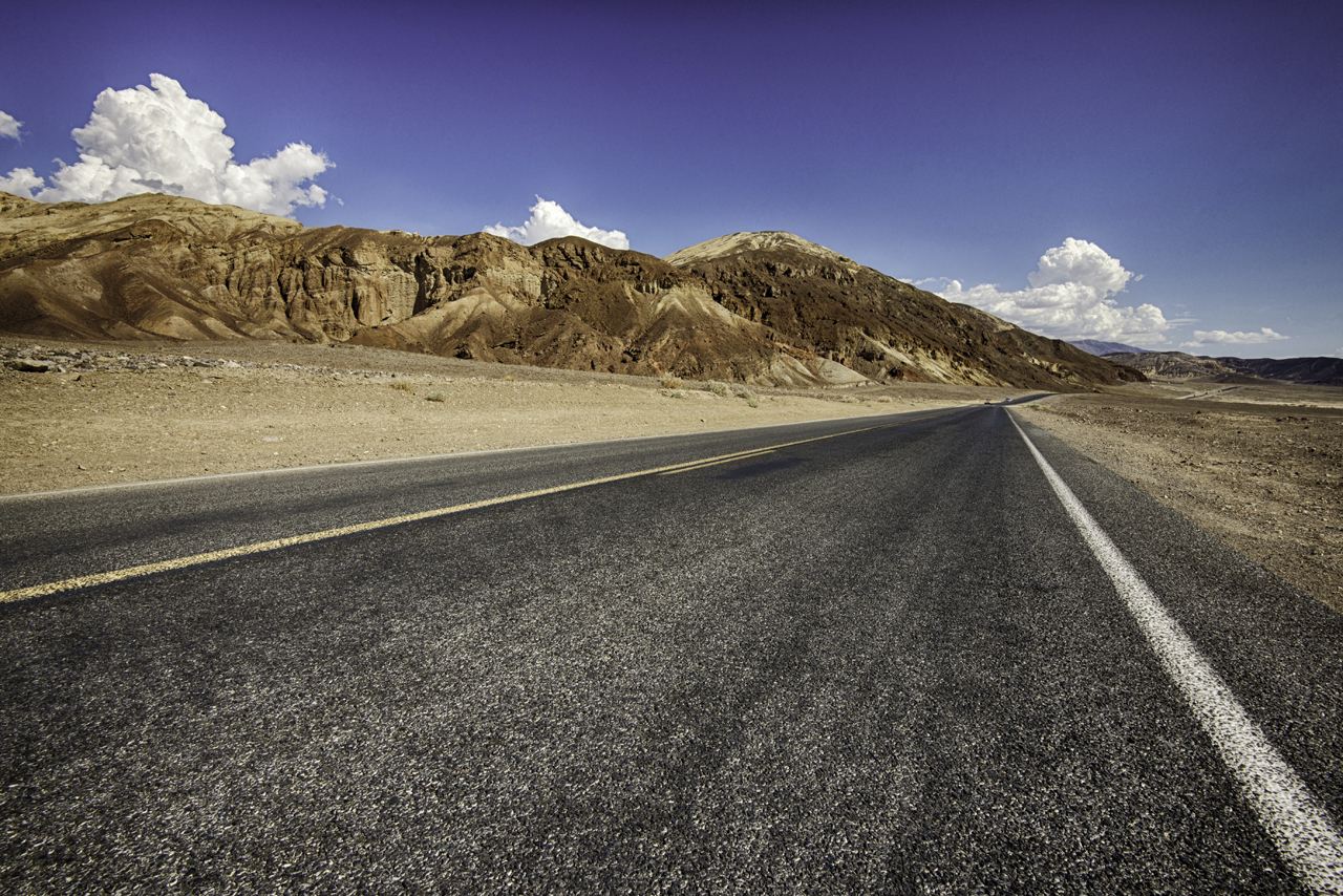
Route through Death Valley
From the geological standpoint, Death Valley is a fantastic place to learn about the processes that shaped it and the planet in its whole. Several distinctive geological features are exposed and easy to access to. Thanks for years of geologists’ work, we have a much clearer understanding of how the Pacific Southwest shifted to its current state through eons of volcanic, tectonic and erosion processes.
Death Valley National Park features some extraordinary formations documenting its rich geological history. The valley itself is 130 miles (210 km) long and 11 miles (18 km) wide in its widest part. The surrounding high peaks of the Panamint Mountains to the west and Black, Funeral and Grapevine mountain ranges to the east (source: Wikipedia) make the valley a inaccessible and often inhabitable place. It contains the lowest point in the entire continent (Badwater Basin at 282 ft (86 m)below sea level), highest peak in the region (Telescope Peak-11,049 ft- 3368 m), an almost 700 ft tall (210 m) sand dunes,covering enormous landmass salt flats and many more geological features that formed through millions of years of Earth history
THE BEGINNING AND PLATE TECTONICS
The oldest rocks found in the valley date back to 1.7 billion years old, however they are so severely altered, it’s impossible to effectively study their origins. These rocks (called schist) can be found in Death Valley as well as the adjacted Panamint Mountains, which suggest that the both these formations may have started at approximately same altitude.
Panamint Mountain Range also contains a quite different kind of rock- dolomitic limestone. The creation of this kind of rock can be attributed only to shell building marine organisms, therefore geologists widely agree that throughout most of Paleozoic Era (542-251 million years ago) the entire area was a warm, shallow sea. The oldest limestone dates back to around 500 million years, while rocks 400 million years and younger contain fossilized marine invertebrates, further proving the existence of a large body of water throughout Paleozoic era.
Samples of rocks taken from the mountains and valleys west of Panamint Mountains (that did not exist as mountains at that time) are younger in age, suggesting that the Death Valley region may have been at the edge of North American continent. It was a mystery to early geologists what terraforming processes changed the landscape dramatically at the Paleozoic-Mesozoiceras transition until the theory of plate tectonics, proposed in 1912 by a meteorologist Alfred Wegener, was finally accepted by a mainstream geology (theory of plate tectonics explained in the Geology of Hawaiian Islands article). It is at that time when the Pacific Plate began sliding under the North American Plate (in geology such process is called subduction). This wide-scale “rearrangement” of the Earth’s crust created an entirely new landscape. When two tectonic plates collide and one subdue under another, several things happen. The heavier, denser(oceanic plates are made mainly of basalt rocks) Pacific plate, when it sled under the North American plate, created an enormously deep trench in the Pacific Ocean. On the continent’s side, the Pacific plate boundary, when traveling towards the Earth’s mantle, melted, creating an enormous pressure from the accumulated liquid rock. When it passed a tipping point, the Earth’s crust gave away and the pressure was relieved in form of lava spilling from a chain of volcanoes that stretched along the entire area.
Simplified diagram showing a result of a subduction of Pacific Plate under the North American Plate, Diagram Ævar Arnfjörð Bjarmason (public domain)
On top of that, as the Pacific plate slid under the North American Plate, the latter warped, draining much of the shallow sea’s water and transforming the then- coastal area into a mountainous landscape reminiscing of today’s Panamint Mountains. The thrust-folding process was so vast and powerful, it is at that time that the Sierra Nevada Mountains, as well as Rocky Mountains, first formed. Volcanic eruptions in the coastal areas continued to spill lava for millions of years, creating new land. When this process stopped at the beginning of Cenozoic era (roughly 65 millions years ago), no longer was Death Valley a coastal inland sea with a warm, damp climate. The mountainous terrain largely devoid of water and away from the Pacific Ocean formed as a “replacement”.
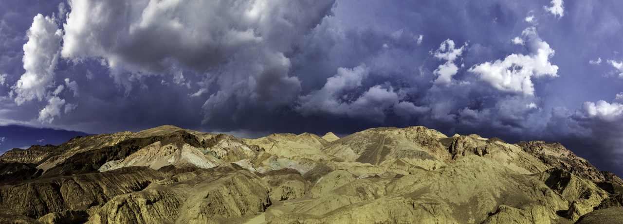
The volcanic activity in the region continued for most of Tertiary epoch (65.5-2 million years ago), blanketing the new landscape in numerous layers of ash and cinders. We can witness the direct results of this volcanism by looking at the majestic, colored layers of volcanic ash, cinder and other debris exposed in the Artist’s Palette section of Death Valley.
Dante's view at Zabriskie Point, Death Valley, CA
FORMATION OF THE VALLEY
The most recent major geological event in the history of Death Valley started approximately 3 million years ago. The dynamics of plate tectonics changed- in the process of crustal extension, the land in Death Valley region started to “stretch” and “pull away” as the tectonic plates moved away from each other. It is at this time when Death Valley started shaping into it’s current state- a long, flat valley in between two mountain ranges. Obviously, this is a very basic explanation of the process¸ nevertheless the “valley” portion of Death Valley formed as a directeffect of the planet’s shift in tectonic plate movement.
Death Valley sattelite image. Panamint Mountain Range in the west (left) portion of the image. Photograph by NASA public domain
A new era of volcanic eruptions followed, depositing layers upon layers of volcanic ash, covering the ancient rocks. As the tectonic plates “stretched” the crust, the valley’s basin continuously slipped downwards. This process is far from over, as where tectonic plates move, so is Death Valley gains in size. The present day’s area of Death Valley called Badwater Basin lays 282 feet (86 m) below sea level, making it the lowest point in North America.
ICE AGES AND LAKE MANLY
Map showing location of the now non-existing system of lakes in the area around Death Valley National Park. Diagram by National Park Services, public domain.
Geological story of Death Valley took “a sharp turn” when Earth entered a phase of cooling-ice formed and receeded many times, the last one as early as 10,000 years ago, procducing a global weather pattern we call an Ice Age. The global climate during these times was much wetter and it is now evident that the whole area of today’s eastern California was covered by large lakes. To the west of Death Valley, two lakes existed, named Panamint Lake and Searles Lake, interconnected by a river. To the east, Lake Tecopa existed in today's Inyo County, CA. Death Valley itself was covered by the largest and deepest body of water- Lake Manly. It stretched out over 100 miles (160km) and reached 600 ft (180 m) in depth. The remnants of this ancient lake can be seen today in numerous salt playa (Devil’s Golf Course being the most “famous”) scattered around the valley that formed when lake water evaporated with changing climate, leaving behind crystallized mineral deposits.
DEATH VALLEY NOW AND IN THE FUTURE
Badwater Basin in Death Valley NP
Death Valley continues to change, reshaped by the ever present geological processes responsible for its formation. During the time last ice caps receded, the moist warm climate was replaced by harsh, desert one. The “rain shadow effect” of the adjacent Panamint Mountains result in an extremely low annual precipitation, making Death Valley one of the driest and hottest places in the world. The temperature recorded in Greenland Ranch, Death Valley on July 10th, 1913, is the highest temperature ever recorded on Earth. The very little rain that falls on the valley creates flash floods, the rushing water carrying sediments from the surrounding mountains and creating a cone shaped deposits called called Alluvial Fans.
The constant movement of North American and Pacific tectonic plates further changes the landscape, deepening the valley and elevating the Panamint Mountains. There is also an evidence of ongoing volcanic activity beneath the Earth’s surface- the Ubehebe crater in the northern part of Death Valley formed not earlier than 1300 years ago.
No one can predict the future of the area within Death Valley National Park, nevertheless the geological forces are present, reshaping it through millennia of activity. On a larger scale, global climate change also affect the valley, bringing prolonged draught periods and making life here even harder.
I strongly suggest visiting this beautiful, otherworldly place- you won’t regret it!
Badwater Basin